Trails
The landscape around Historic Fort Snelling was formed at least 10,000 years ago when glaciers retreated over Minnesota, leaving thick moraine deposits that were carved out by torrential meltwaters into deep valleys.
The confluence of the Mississippi and Minnesota rivers have brought many indigenous peoples and others to the site for thousands of years. Those who lived in or traveled through this area saw different landscapes across time.
In 1817, Maj. Stephen H. Long described grasslands along the bluffs. But today, visitors can see the forested river valley that grew long after the construction of Fort Snelling.
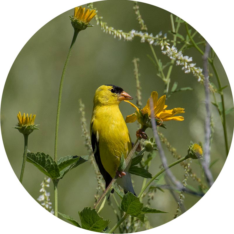
Mitakuye Oyasin: We Are All Related
Environmental impacts have greatly shaped the land you see around you. As you walk the paths around Fort Snelling, look for changes in each season. See how interconnected animals, birds, and humans are to each other. These are some of the gifts they give to one another.
- Narrow-leaved coneflower
- Early meadow rue
- Mountain mint
- White-tailed deer
- Sweetgrass
- Blue vervain
- Cottonwood
- Eagle
- Red-osier dogwood
Wato Oyate na Wamanica Oyate: Plant and Animal Nations
Erin Genia (Sisseton-Wahpeton Oyate/Odawa) created the five concrete stencils along the trail. A multidisciplinary artist, educator, and community organizer, Erin specializes in Native American and Indigenous arts and culture.
"This imagery uses the Dakota artistic form to reflect relationships between plants and animals. These connections are significant to the riverine site of Bdote. In Dakota philosophy, there is a concept called Mitakuye Oyasin. This is a way of life based upon the interconnectedness of all life. Animals, plants, water, and earth are not viewed as lesser than human beings. Instead, we understand them as our equals. Each has an essential contribution to make in the world. As such, we treat them as relatives, with respect and reciprocity."
—Erin Genia, 2021
Travelers across time saw different landscapes
For 10,000 years, you’d likely paddle past seasonal woodland camps of Native people, including Dakotas and Ojibwe, along the shore.
Dakota people have lived for centuries along the shores of this region’s lakes and rivers. Conservation of land has long existed for Dakota people and seasonal villages moved for this very reason; to allow the land and resources to repair itself. Little Crow’s village, Kaposia, is an example of one of these historic places. This seasonal Mdewakanton Dakota village relied heavily on the Mississippi River for food sustainability and transportation, among many other reasons.
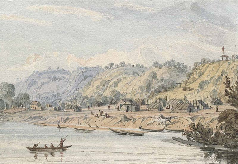
Little Crow’s Village on the Mississippi, painted by Seth Eastman, 1846-1848. Source: MNHS Collections


